Agriculture
Crop insurance: Agri ministry seeks DGCA nod for taking drone-based crop images in 100 districts
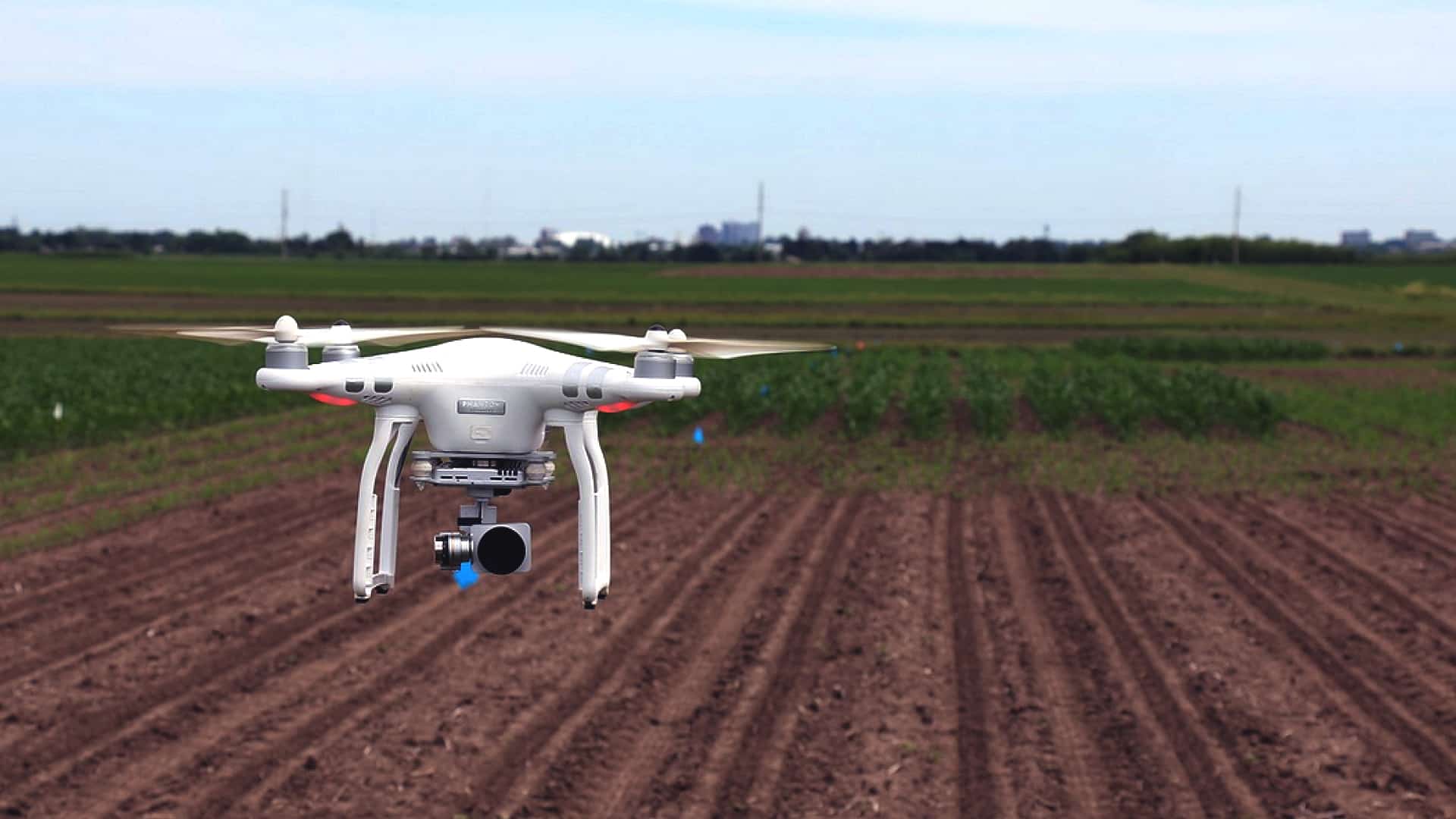
The agriculture ministry has sought civil aviation regulator DGCA’s nod for allowing shortlisted private agencies operate drones to capture images of rice fields in 100 districts to assess crop yields at gram panchayat level under the Pradhan Mantri Fasal Bima Yojana (PMFBY), according to a senior government official. This is the second year the ministry has hired private agencies for a pilot study of unmanned aerial vehicle (UAV) based remote sensing data collection in agricultural areas of 100 districts for assessing gram panchayat level under the PMFBY. “Since harvesting in selected 100 rice growing districts is in full swing currently and will be completed shortly as per the crop season, we have requested the Directorate General of Civil Aviation (DGCA) to give approval for flying drones over selected regions,” the official told PTI.
A letter in this regard has been written to the DGCA seeking permission for agencies such as AMNEX, Agrotech, RMSI Pvt Ltd and Weather Risk Management Services Private Ltd to operate drones for two months till December 31, he said. The official mentioned that the drone-based images are one of the important inputs in the models for crop yield estimation and validation. The shortlisted agencies have already started the study in their assigned regions as per the time schedule. The drone-based images will be captured in 10 states — Andhra Pradesh, Bihar, Haryana, Jharkhand, Karnataka, Madhya Pradesh, Odisha, Tamil Nadu, Telangana and Uttar Pradesh. On benefits of using drones for the PMFBY, the official said crop damage valuations have traditionally been difficult to make as it is carried out manually after an insurable event such as floods, drought or pest infestation. However, the remote sensing data captured through drones will help get the accurate information on crop conditions and losses to farmers, and shorten timelines for crop insurance claims, he explained. “After the success of pilot studies, it will be scaled up,” the official added. As per the official data, about 241.7 lakh hectare farm land has been insured in the 2020 kharif season.


Pingback: Rabi sowing begins; wheat planted in 97.27 lakh hectare so far: Agri min | The Plunge Daily