


Agriculture
Agri min gets DGCA nod for taking drone-based crop images under PMFBY: Tomar
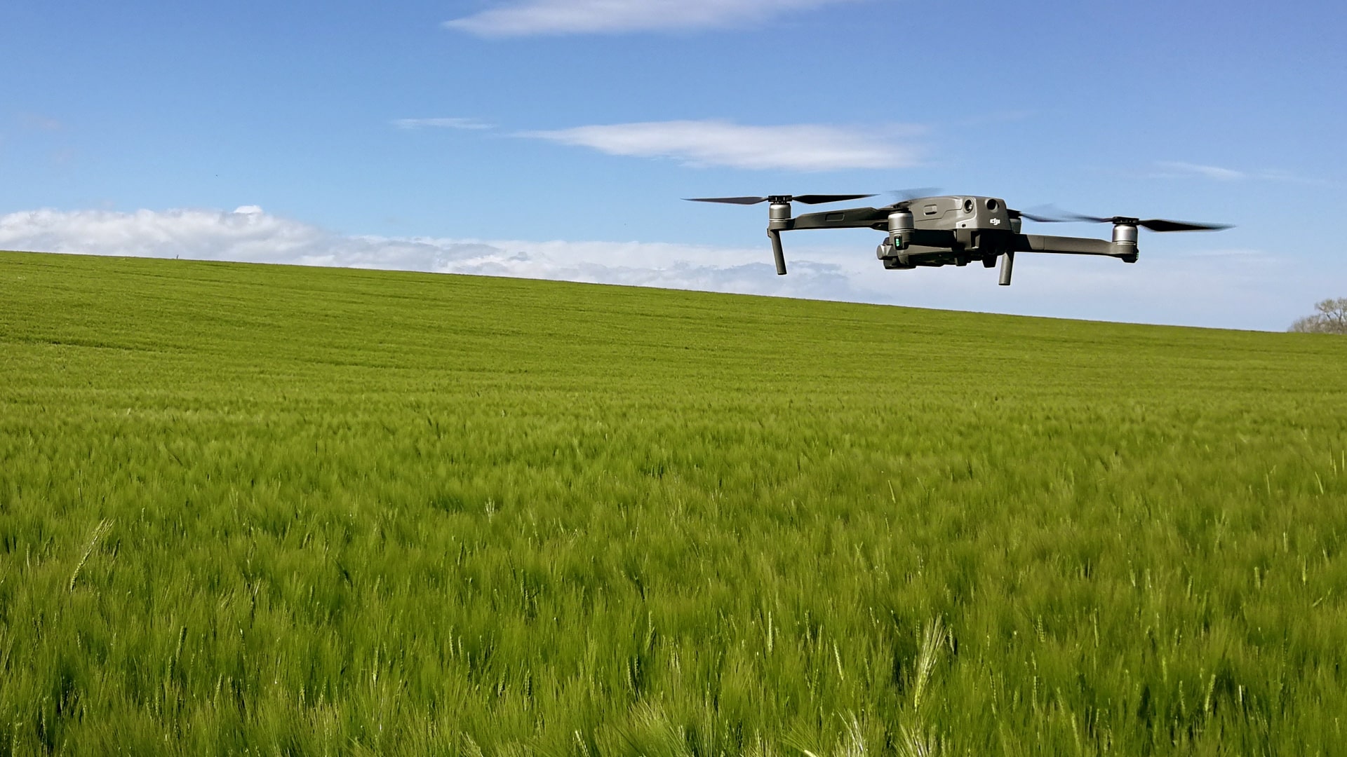
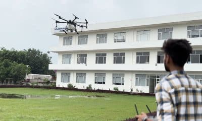
The agriculture ministry has got approval from aviation regulator DGCA for flying drones to capture images of rice and wheat fields in 100 districts to assess crop yields at gram panchayat level under the Pradhan Mantri Fasal Bima Yojana (PMFBY), Union Minister Narendra Singh Tomar said on Thursday. This is the first remote sensing technology based largest pilot study conducted so far in the country for crop yield estimation, the agriculture minister said in a tweet. Apart from drone-based images, high spatial resolution satellite data, biophysical models, smart sampling, artificial intelligence among others are also being used in the large scale pilot study, he added.
“To ensure timely settlements of claims under PMFBY, @DGCAIndia has approved the proposal of @AgriGoI for flying drone over 100 districts growing rice and wheat,” Tomar tweeted. The minister mentioned that several remote sensing data-driven pilot studies have been conducted under PMFBY across the country to determine optimum number of ‘Crop Cutting Experiments (CCE)’ to assess accurate crop yield loss at insurance unit, for smart sampling technique and rationalization of CCE and direct yield estimation. About 13 agencies were engaged for conducting pilot studies to develop technology-driven approaches for direct yield estimation at gram panchayat level for Kharif 2019 and Rabi 2019-20. The agencies had conducted studies in 64 districts of 15 states for 9 crops for Kharif 2019 with the help of satellite, unmanned aerial vehicles (UAV), biophysical models, smart sampling and other advanced statistics technologies for crop yield estimation, he said. The pilot studies were continued during the 2019-20 Rabi season for rice and wheat growing districts for validation of crop yield results obtained in Kharif 2019, he added.
Also read: 1,000 more mandis to be integrated with e-NAM in 2021-22: Govt
“In view of outstanding results of pilot studies, the Expert Committee has recommended that there is a large scope of use of technology under #PMFBY for GP level yield estimation,” the minister noted. Based on advanced technology used by the agencies and modelling accuracies, seven agencies like CropIn, Agrotech and ICRISAT have been selected for large scale pilot studies for Kharif 2019 and Rabi 2019-20, he added. Drone images are crucial input parameters for crop yield estimation at gram panchayat level developed by the agencies. Further, the minister explained that use of UAV data in the scheme will bring new dimension to ensure timely settlement of claims in the scheme as well as for crop area estimation, losses due to localized calamities and to resolve yield dispute between different stakeholders under the scheme. Use of high spatial resolution UAV data may also be explored in other agriculture related schemes in India, he added.